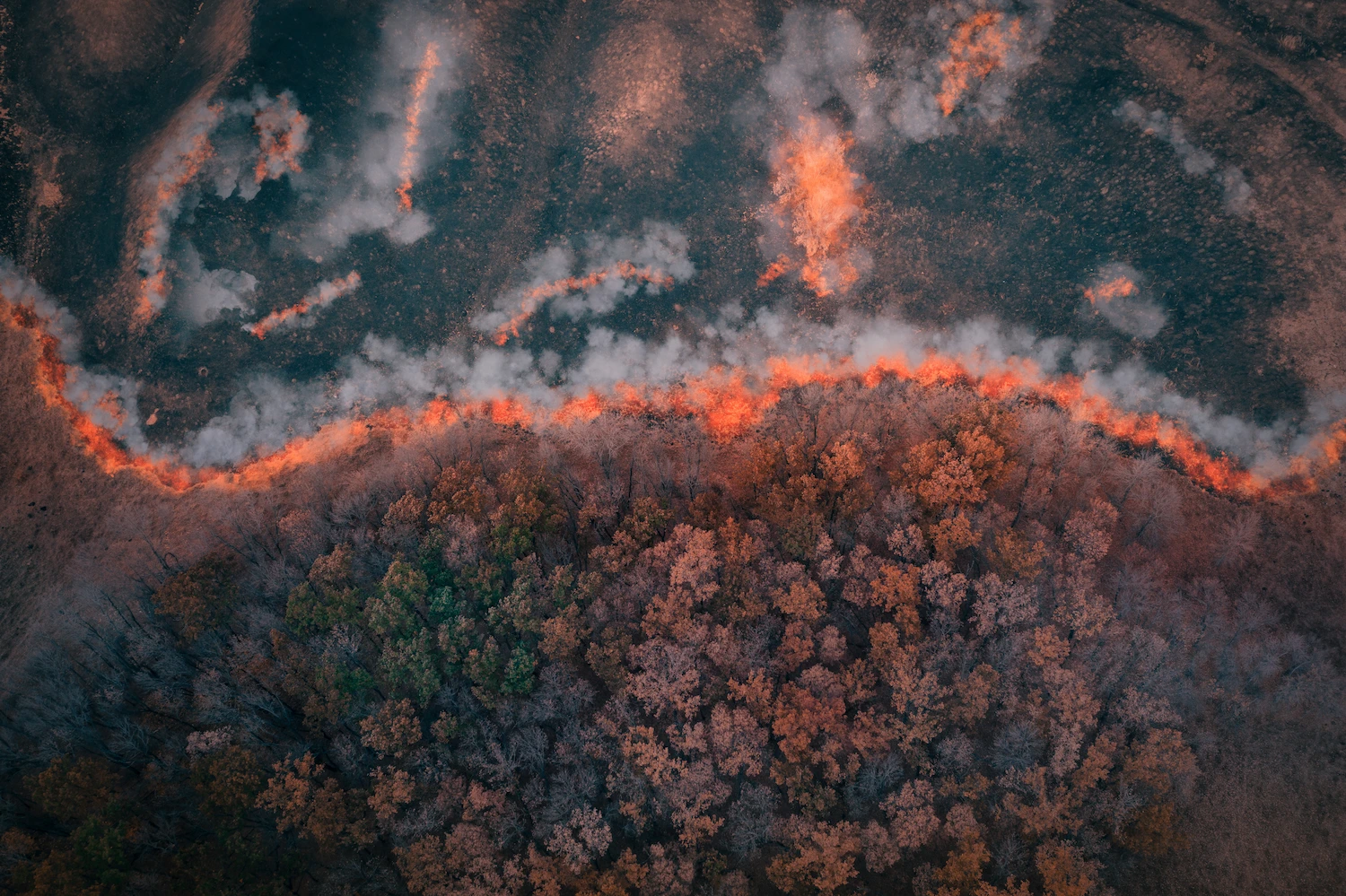
Get Ahead of the Flames: Mapping Fire Risks with Remote Sensing
We are approaching a brand-new fire season with trepidation. The warming climate has given forest fires a fierce power that often exceeds the capacity of even the most technologically advanced nations to evade them. One of the conducive factors in taming forest fires is having up-to-date information on potential fire risks, which can be applied in both prevention and suppression efforts.

How LiDAR Data Can Support Efficient Plantation Management
Plantations are a sustainable way of producing timber and fiber raw materials for humankind. Effective plantation management requires up-to-date information on timber size, quality, and total stock, hence, professional plantation managers increasingly use LiDAR data as the main information collection tool.
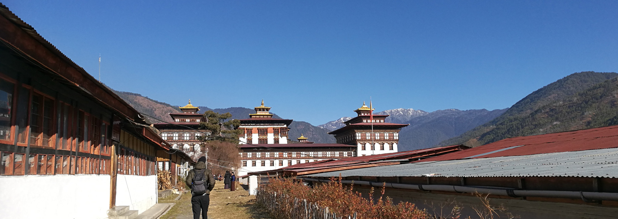
New GIS tool for assessing suitability of forestry clearance in Bhutan
Last year, Arbonaut has extended its global reach to Bhutan, a new country for us on the map, with the start of the development of a Spatially-enabled knowledge base and Decision Support System (SDSS) for the Department of Forest and Park Services.