Get Ahead of the Flames: Mapping Fire Risks with Remote Sensing

We are approaching a brand-new fire season with trepidation. The warming climate has given forest fires a fierce power that often exceeds the capacity of even the most technologically advanced nations to evade them. One of the conducive factors in taming forest fires is having up-to-date information on potential fire risks, which can be applied in both prevention and suppression efforts.

Software

Get Ahead of the Flames: Mapping Fire Risks with Remote Sensing


We are approaching a brand-new fire season with trepidation. The warming climate has given forest fires a fierce power that often exceeds the capacity of even the most technologically advanced nations to evade them. And every year the forest fire conditions are becoming more challenging, leaving forest fire managers with a growing threat.  One of the conducive factors in taming forest fires is having up-to-date information on potential fire risks, which can be applied in both prevention and suppression efforts.

Building resilience against forest fires in Portugal


Portugal has always suffered from devastating forest fires. Within one summer week in 2017, the most severe forest fire tragedy happened when 150 raging fires burned thousands of hectares of land. Back then, the country didn’t have accurate data, planning tools, or advanced risk assessment processes in place. That and many lost human lives in 2017 prompted the government to look into new technologies to revolutionize current forest fire management practices.

Arbonaut closely worked with ForestWISE and the Portuguese government to develop a cutting-edge solution. The know-how was designed to evaluate the fire risks in wildland and wildland-urban interface. The project targeted a total of 45,165 hectares of land in Pombal, PF Monsanto, Mafra, Serras da Lousa, PN Sintra Cascais, VPA, and Proenca-Oleiros areas of Portugal.

ArboFiRM tool for forest fire risk assessments


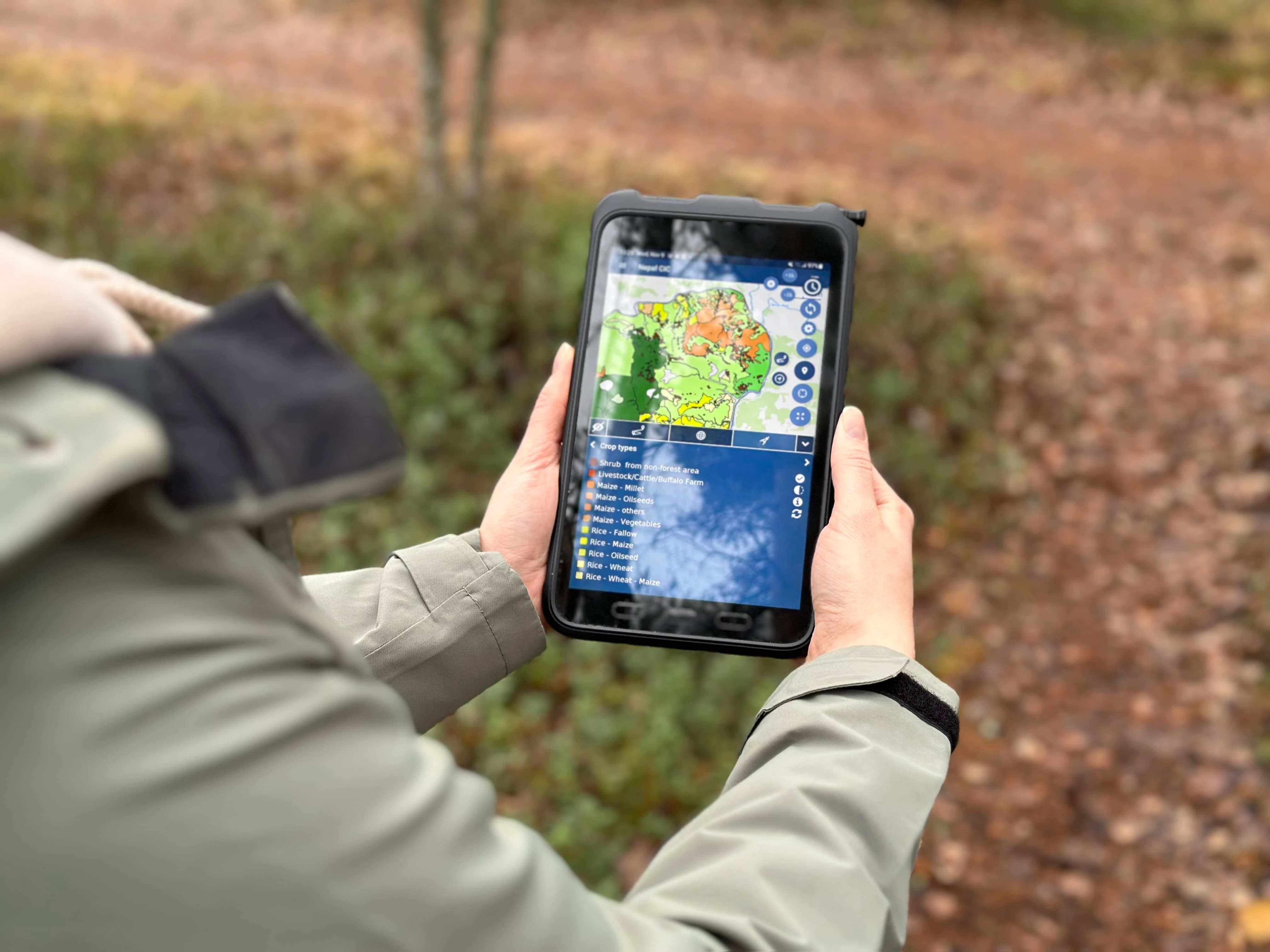
Our solution for Portugal turned out completely custom-built, taking the country's needs and biggest challenges into careful consideration. That implied putting our experts into forest fire managers’ shoes and innovating new map layers, which would prove crucial in real scenarios. Basemaps and raster layers are available in our ArboFiRM multiplatform software that keeps all data in one place. Thus, forest fire managers in Portugal can now benefit from planning preventative actions or suppression efforts via desktops or mobile phones when out in the field.

Top 3 transformational aspects of comprehensive risk evaluations in Portugal


Infrastructure vulnerability

Wildland-Urban interface (WUI) areas are very vulnerable to forest fires. In WUI areas, urban environment meets nature, so yearly forest fire seasons lead to lost infrastructure and even human lives. To help in this key challenge, Arbonaut developed a new technique to point out all kinds of infrastructures with a high risk of ignition. Hence, authorities and fire managers can easily plan efficient preventative actions and allocate scarce resources to the most crucial and vulnerable areas. In addition, it not only allows fire managers to plan their actions but the property owners and the entire society to be aware of the risks and take the necessary actions to shield the WUI areas from the devastating aftermath of forest fires.

Map of Building Vulnerability to Forest Fires

Road mapping

Access to forest areas and their resources is always a crucial factor in forestry and especially in prevention and suppression actions against forest fires. It demands knowledge of the specific location and thorough characteristics of each road, no matter the size to plan and execute any action in forest fire management. Arbonaut developed a LiDAR-based tool to map every existing road accurately and very precisely in an area of interest. Even the smallest forest roads under the canopy layer can be revealed thanks to the phenomenal capabilities of 3D LiDAR.

Road Mapping for Best Forest Access

Vegetation


All vegetation like trees, shrubs, and other plants, is the forest's fuel that can easily ignite and start a forest fire. For this reason, it is crucial to have very detailed information about vegetation, from its location to its density. ArboFiRM produces very accurate LiDAR-based fuel data that includes fuel models, canopy fuel metrics, and other relevant information on ground and canopy levels. Decision-makers can fully rely on this information, delivered in intuitive raster maps to make the planning of fire prevention and suppression actions as effective as possible. Vegetation data can be combined with other important data and added to fire behavior software like FlamMap for running flawless fire simulations.

Mapping Vegetation to Assess Forest Fire Risks

A stepping-stone to more innovations


Partially based on the outcomes of this project, the Government of Portugal decided to cover its entire land base with airborne LiDAR and continue using cutting-edge digital tools for forest fire management in the country. Our expert team is grateful for the opportunity to have closely worked with the Portuguese fire specialists and the Government of Portugal and contribute to the country's strategy of forecasting, monitoring, and mitigating forest fires.

ArboFiRM will be an invaluable tool for all stages of Integrated Fire Management. Learn more about ArboFiRM for precise fire risk evaluations!